 |
 |
 |
 |
 |
 |
 |
 |
 |
|
|
|
|
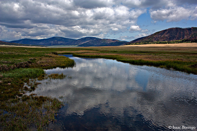
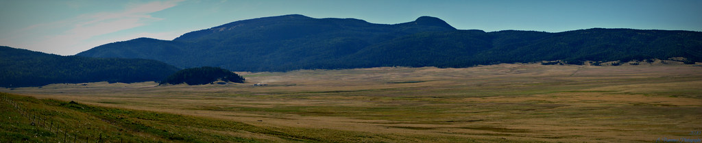
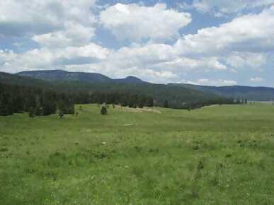
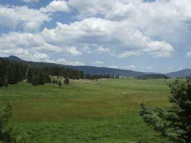
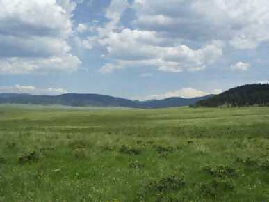
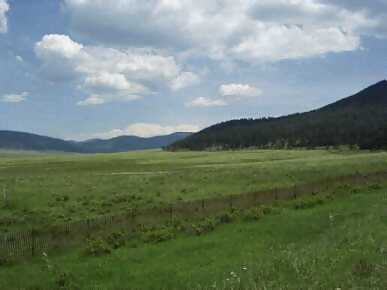
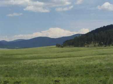
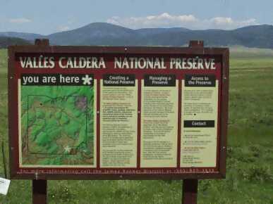
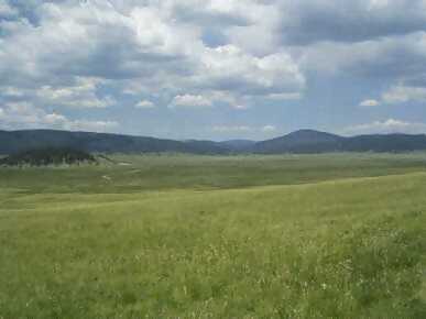
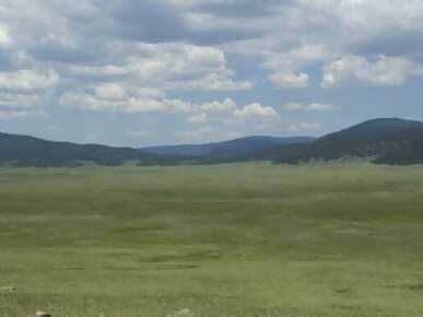
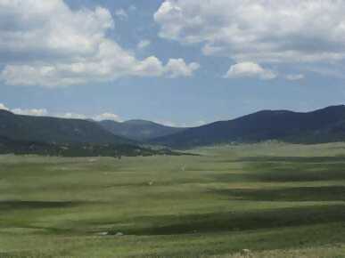
The Jemez mountains are what is left of a series of major volcanic eruptions that occurred about one million years ago. The volcanic activity in the Jemez area probably began in the 65 to 54 million years ago and has continued to about 50,000 years ago. Redondo Peak at nearly 12,000 feet above sea level, is what is left of the original peak. The peaks on the rim of the caldera are between 10,000 and 11,000 feet above sea level. The eruptions of 1 million years ago threw out around 100 cubic miles of ash leaving a caldera 20 miles across. The tuff deposits on the outside of the caldera are nearly 1000 feet deep in some places. Steep canyon were cut by erosion. These canyons include Frijoles, Water, Valle, Pueblo, Los Alamos, Guaje and Santa Clara. Links: |
portion of the Jemez Mountains, Valles Caldera.
Sky Island - New Mexico's Jemez Mountains