|
|
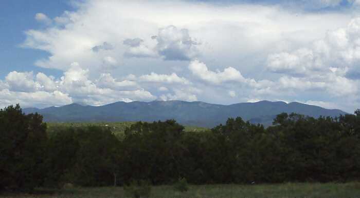
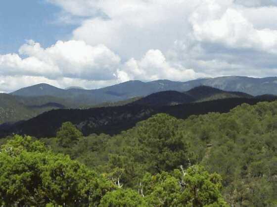

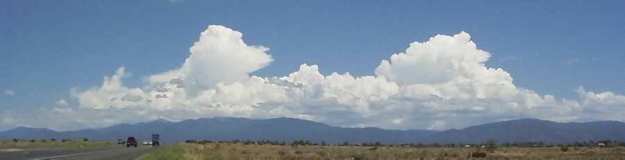
Sangre de Cristo Mts. taken near Santo Domingo - 2004
|
The Sangre de Cristo Mountains are one of the longest mountain chains on Earth. They stretch from Poncha Pass, Colorado, in the north to Glorieta Pass, New Mexico, in the south. Wheeler Peak at 13,106 and just north of Taos, is the highest point in New Mexico. The Sangre de Cristo Mountains are the southern most part of the Rocky Mountains. The Sangre de Cristos are fault block mountains with major fault lines running along both the east and west sides of the mountains with minor faults cutting right through them. The mountains were pushed up about 27 million years ago, pretty much as one big chunk of rock. On the west side is the San Luis Valley with the Rio Grande Rift Zone running down the middle. On the east side is the Raton Basin with a quiet but still active volcanic field. |