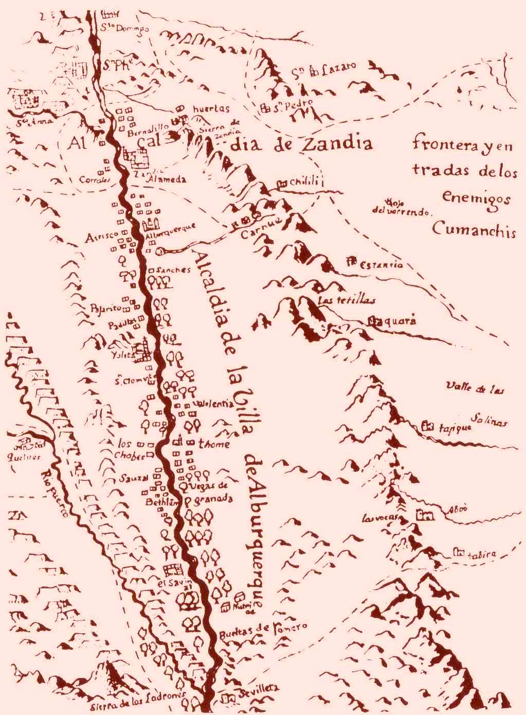
1779 Bernardo Miera y Pacheco Map of the Río AbajoTraditionally, the Río Abajo is everything
south of the lava cliffs named la Bajada,
and the Río Arriba is everything north of la Bajada.
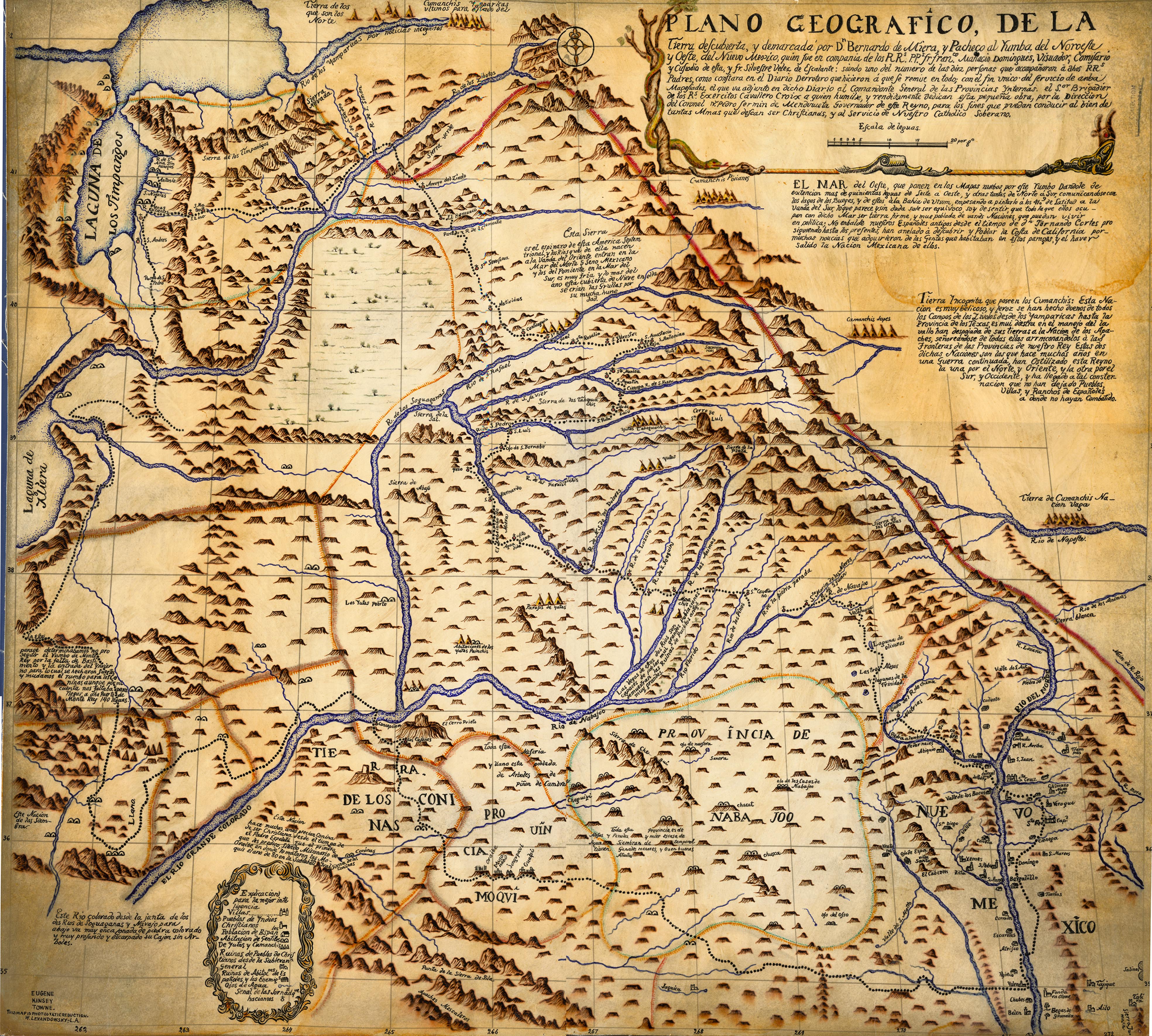
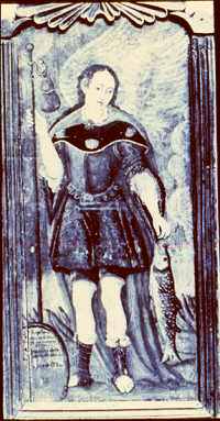 Bernardo Miera y Pacheco Bernardo Miera y Pacheco
was also one of
New México's first santeros,
and he made this retablo.
|
Comments
My New Mexico Roots
© Nancy Lucía López
|
